Turning geospatial data into real-world decisions
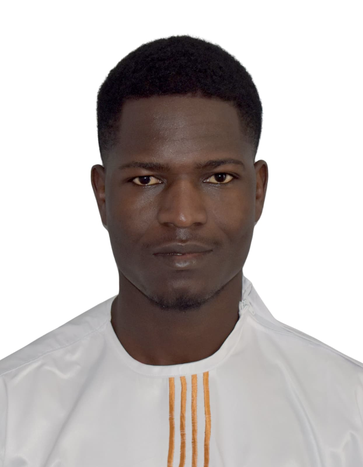
I'm an engineering student in Geoinformation at FST Tangier (Abdelmalek Essaâdi University), building tools that turn geospatial data into real decisions: environmental monitoring platforms, custom GIS plugins, territorial management applications. My path started with a two-year degree in Mathematics, Computer Science and Physics in Béni Mellal, where I first discovered what geo-information could do for real-world challenges: natural resources, agriculture, urban planning, land management. Since then I've applied that hands-on drive across several fields: cleaning and digitizing cadastral data for Burkina Faso's tax administration, researching embedded geolocation for a wildfire-monitoring nanosatellite (project ERWIN, with SeeSat e.V. and DHBW), and designing a local AI assistant, combining an open-source LLM with RAG, to automate hotel front-desk operations. In February 2026, I took part remotely in the UNESCO Water4Future Hackathon: in 48 hours, my team and I built Water Credit AI, a platform that makes every cubic meter of water saved in agriculture traceable, using Sentinel-2 data and machine learning models. What drives me, at the core, is building tools that actually solve something: a plugin, an app, a model, whatever form it takes. I'm currently completing my final-year internship (PFA) on a transport-optimization platform built with PostGIS, OR-Tools and OSRM, and in parallel I work freelance with organizations that need tailor-made geospatial or web solutions.
July 2026
Virtual assistant for hotel front-desk operations
Personal project: a virtual assistant handling hotel front-desk tasks (bookings, information, FAQs), powered by an open-source LLM running entirely locally (via the transformers library), with no API or subscription, combined with RAG (Retrieval-Augmented Generation) to give it access to real documentation.
Services
Let's talk about your project
Custom Web & Mobile Development
Business websites, e-commerce platforms, and mobile apps built with modern frameworks (Next.js, React, Laravel for web; Flutter, React Native for mobile), from design to deployment. Backed by real client work: the Jackson Energy and Zida Solaire websites, and the Zida Solaire mobile app.
GIS, Remote Sensing & Geospatial Analysis
Satellite imagery processing (Sentinel-2), land cover classification, predictive models applied to territorial challenges (accessibility, natural resources), mapping, and geospatial databases (QGIS, PostGIS, ArcGIS Pro). Backed by several Esri and Coursera certifications (remote sensing, LiDAR, SAR, GIS mapping) and applied to real cases, including the Water Credit AI platform presented at the UNESCO Hackathon.