Tangier Land Cover Classification with Random Forest
À propos du projet
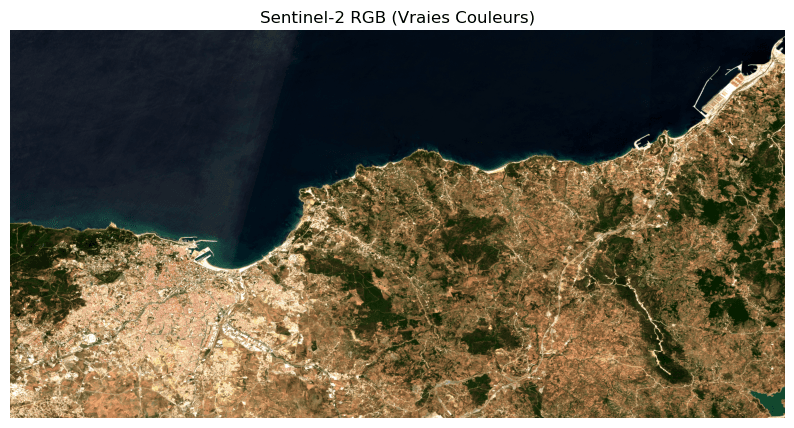
Supervised land cover classification of Tangier using Random Forest, based on Sentinel-2 imagery (raw spectral bands plus NDVI, MNDWI, and NDBI indices) and ground-truth data, distinguishing four classes (agriculture, built-up areas, tree cover, water). Cross-validation score: 86%.