Land Cover Classification with CNN
À propos du projet
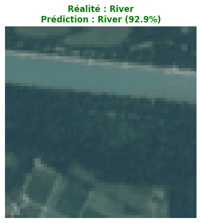
Designing and training a convolutional neural network (CNN) with TensorFlow/Keras on the EuroSAT satellite dataset (Sentinel-2 imagery, 10 land cover classes: forest, industrial area, highway, residential area, crops...). After 12 training epochs, the model reached 81% accuracy on the test set, performing well on visually distinct classes (forest, industrial zones, water) with more confusion between visually similar classes (highways, permanent crops).
Stack technique
Deep LearningSatellite Imagery (Sentinel/Landsat)CNN / Semantic Segmentation